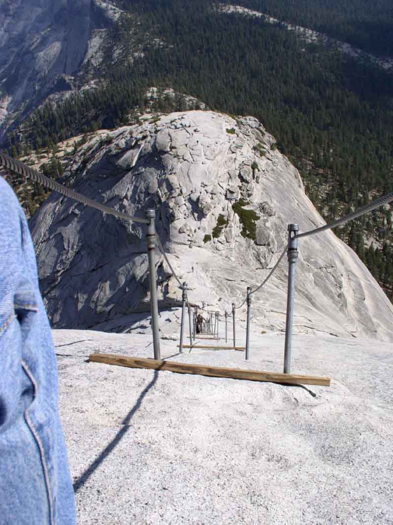
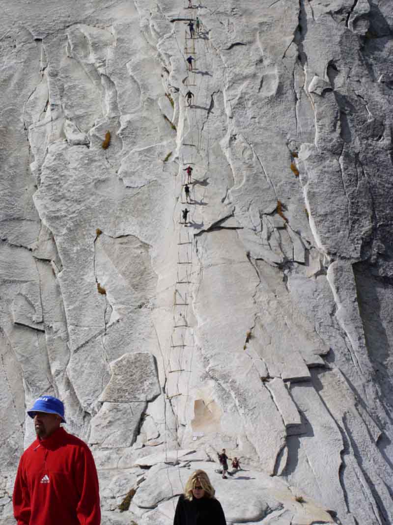
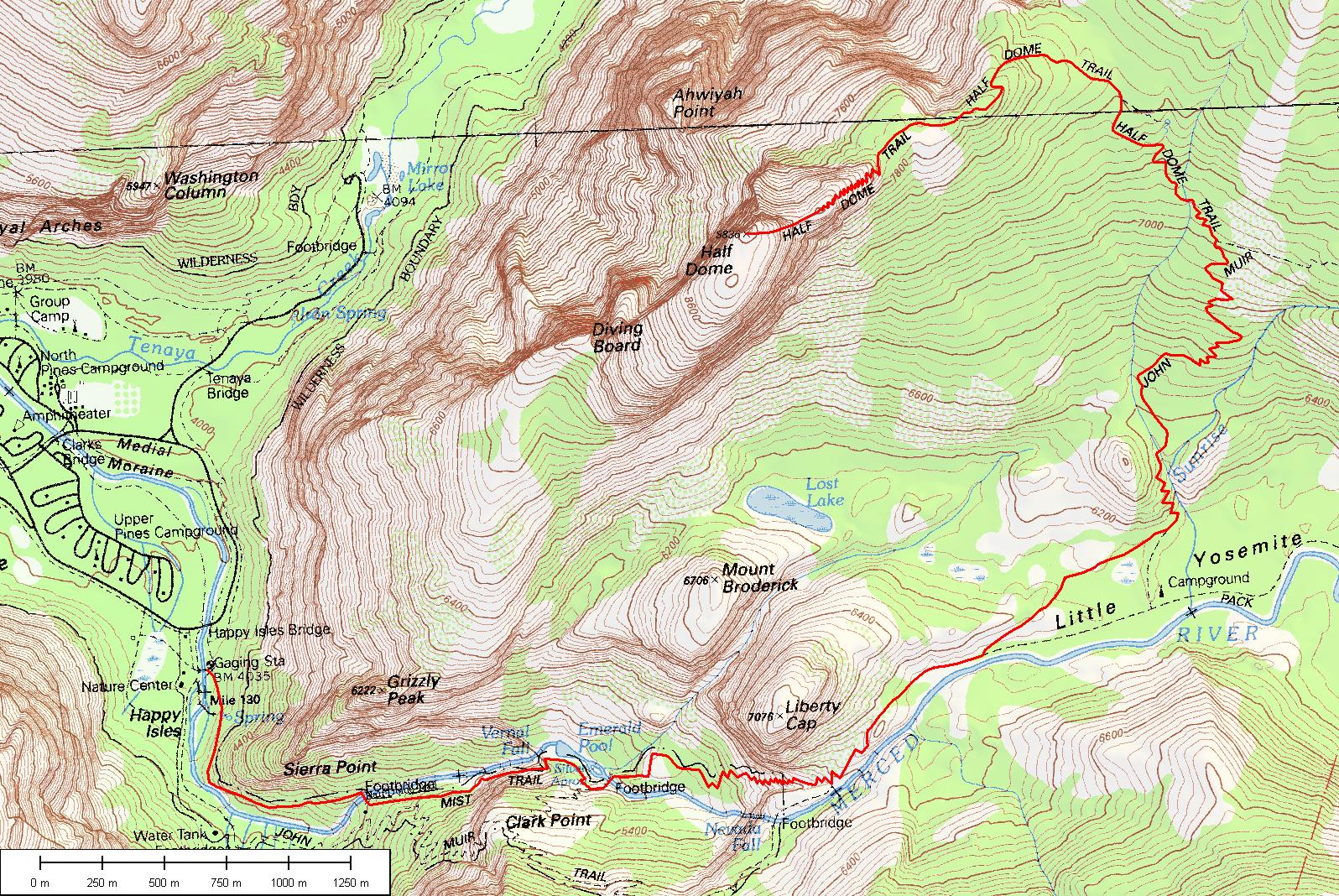
The Half Dome Cable Route is by far one of the most popular hiking attractions in Yosemite. When preparing for this hike, one should be in at least a decent physical condition. You will have to go at a time when the cables are "up." Below is a topo map of the hike starting at the valley floor and continuing to the top of Half Dome. Something you will find on this page that other websites on the hike do not have is the elevation profile. I have gathered the data from USGS including digital elevation models (DEM), digital raster graphics (DRG or topo maps) and digital orthophoto quandrangle satellite imagery (DOQ or DOQQ). We assembled the data using a popular GIS (geographic information system) package known as Global Mapper. Below you will see a graph depicting distance traveled along the trail (in kilometers) and the elevation of the trail at that point (in meters). If you want the raw data, click and download half dome trail route beta. If you have any questions, contact us and we can help. The map below is somewhat high resolution, feel free to copy it to your desktop and explore in detail!
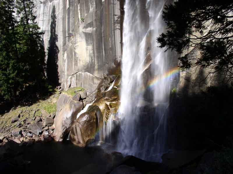
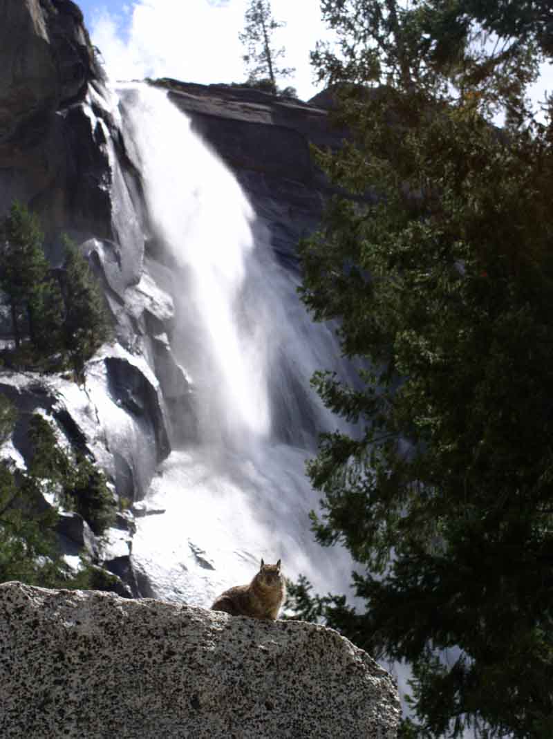
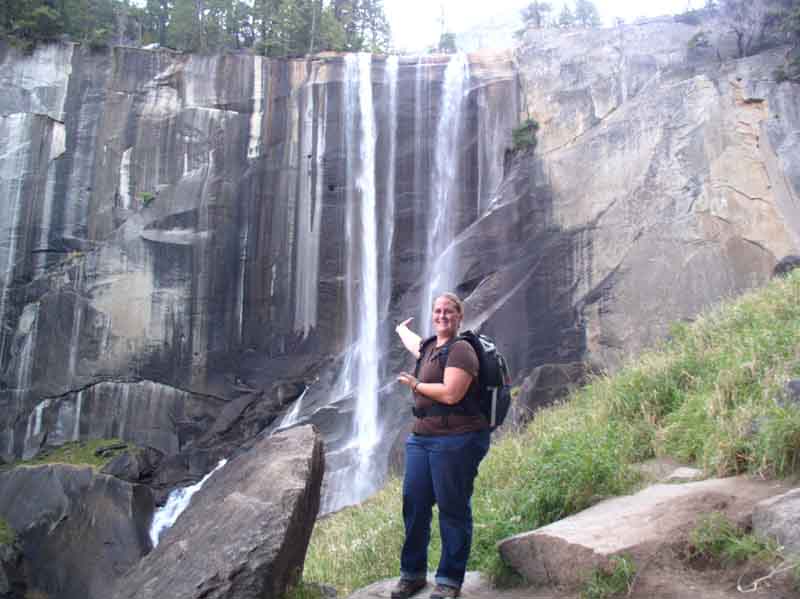
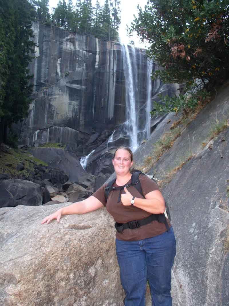
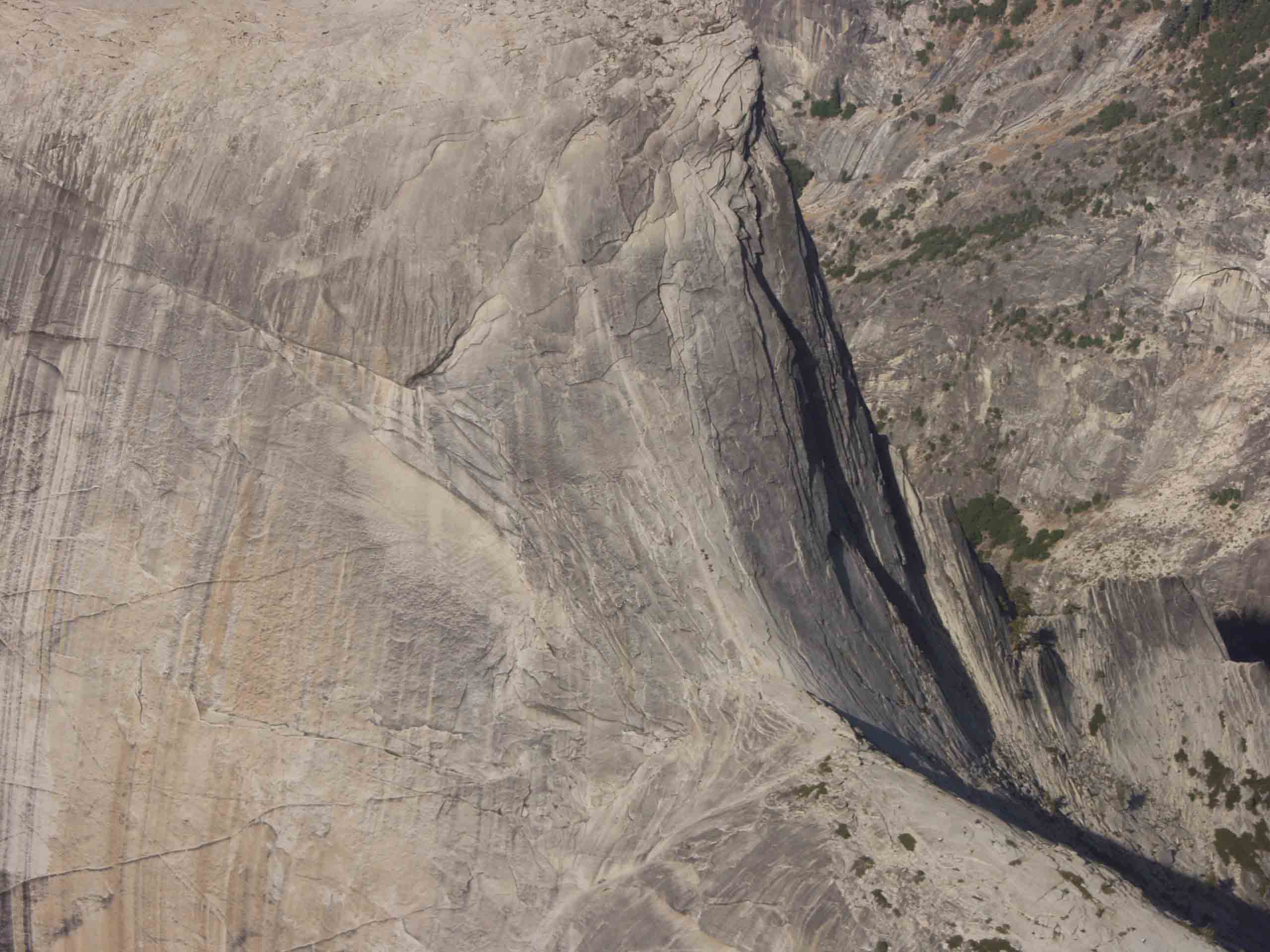
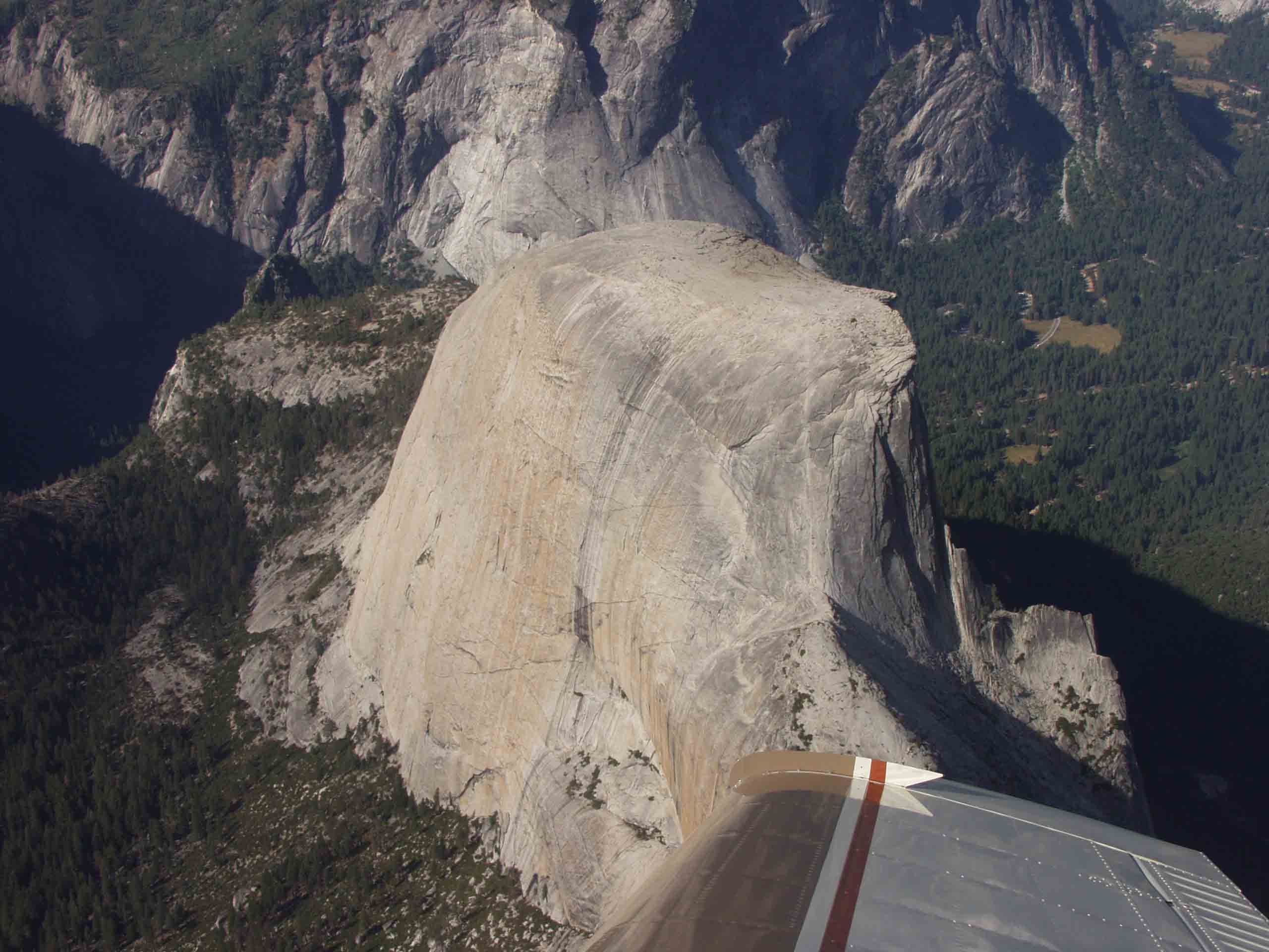
The hike will take you about 4 to 4.5 hours up and about 4 hours down. I took most of my photos on the way down. I would recommend on the way down that you veer from the mist trail for the final few miles and instead take a left turn near Nevada Falls and continue down the more gentle John Muir trail. I drank about 1 gallon of water on this hike and ate essentially one package of beef jerky. At the end of the page, don't miss the aerial photographs from an overflight of half-dome. You can actually zoom in and see people on the cables!

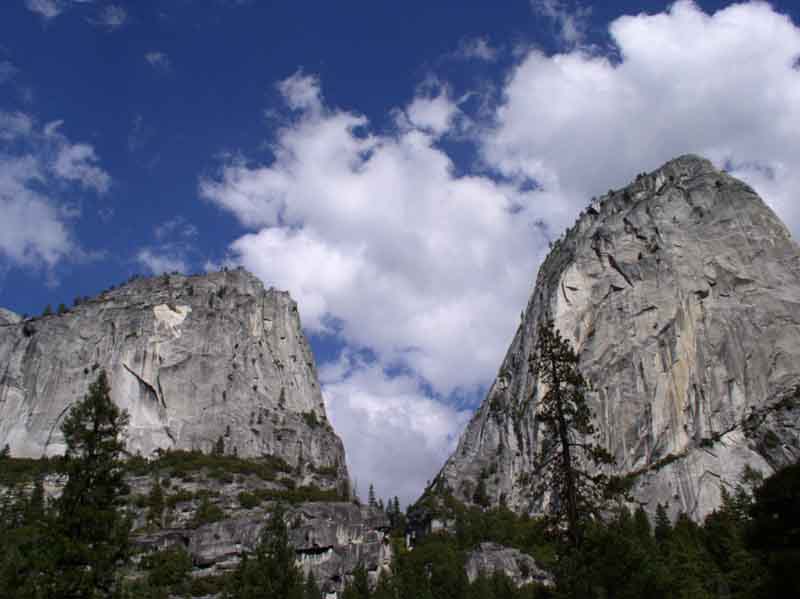
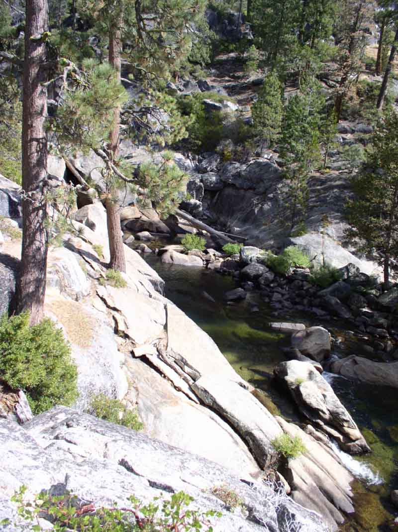
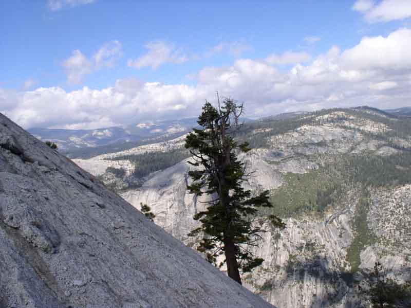
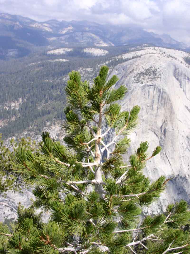
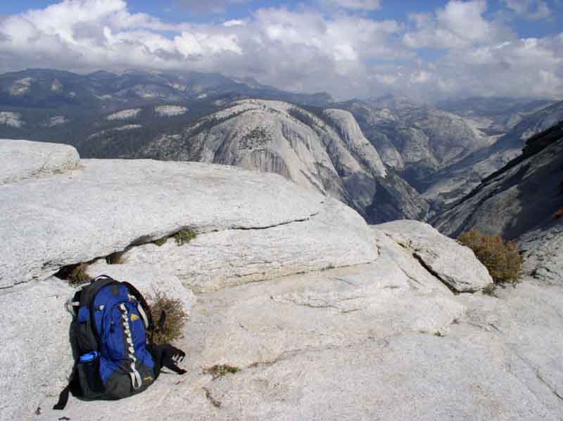
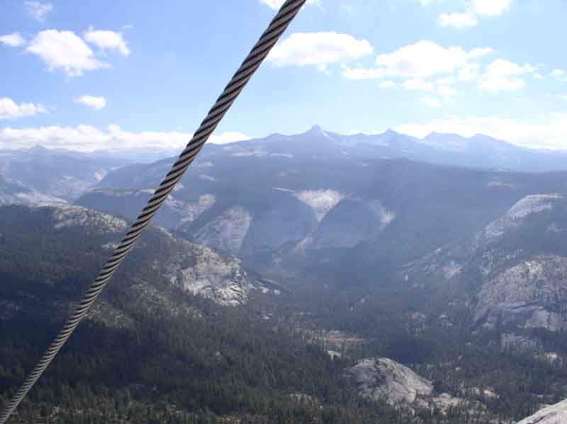
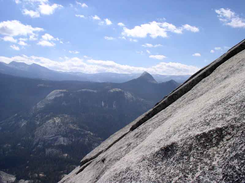
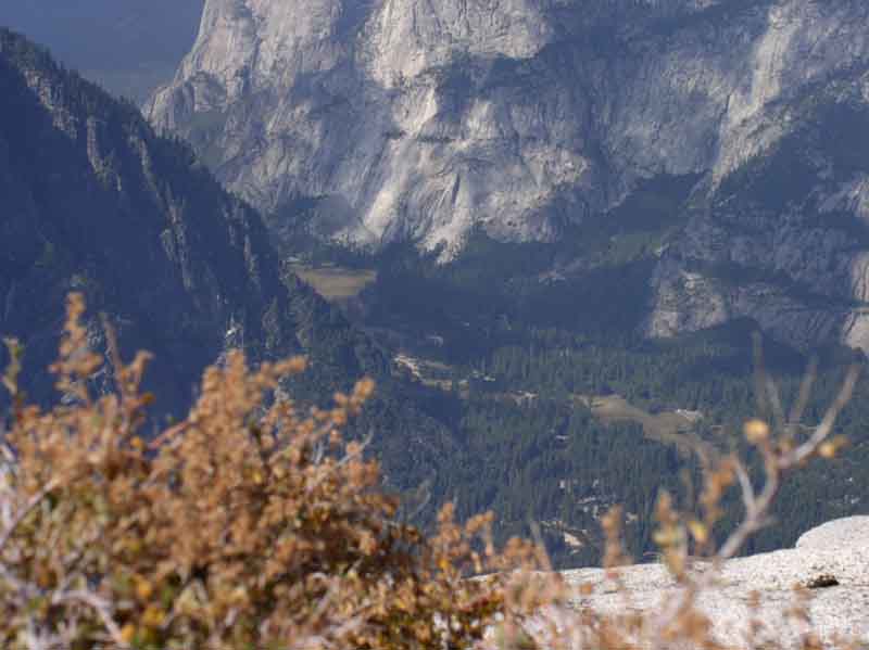
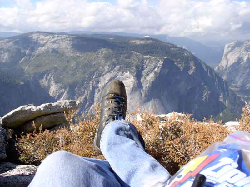
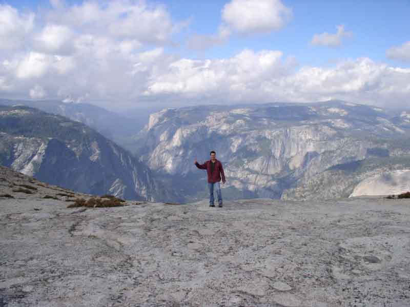
the images below are from our oct 2 2005 trip